
Which trail first
Most people who come to Yugawara to walk have heard of Shiroyama, the castle mountain above the station. It is a fine hike, and it is not the one to start with. The Yugawara Onsen Tourism Association, the town's tourism body, lists five hiking courses: Shiroyama, Nangozan, Tenshozan, Ikemine, and Makuyama. Two of them carry its beginner label. Ikemine is about 4.3 km and about 80 minutes of walking, and Makuyama is about 5.0 km and 155 minutes. Both start from a bus stop about a quarter of an hour from the station, so a first walk here needs no car and no complicated planning.
Shiroyama is the one to save for later. The association lists it at about 13.6 km and 230 minutes, and grades it for strong walkers. This season part of it is also closed on weekdays. The town says thinning work closes the section from Gosho Shrine to the Shiroyama summit by the Miyashita forest road from 20 October 2026 to 15 March 2027, except on Saturdays, Sundays, and holidays, and that the path from the Doi Ōsugi entrance toward the Shirogane forest road is impassable because of fallen trees. Our Shiroyama route guide has the full walk, and the story of the castle mountain covers its history. Come back for both once you know how your legs feel on a Yugawara hill.
Ikemine, the short one
Ikemine is the gentlest way in, and late autumn is its season. Take the Oku-Yugawara bus, which leaves from stand 2 at Yugawara Station, and get off at Oku-Yugawara-iriguchi, about 16 minutes up the valley. The course lies inside the Oku-Yugawara Prefectural Natural Park, and Ikemine Bridge over the Fujiki River is its entrance. From there it is about 40 minutes up to Ikemine Momiji-no-sato, a hillside planted with about 540 Japanese maples that colour in November. Kanagawa Prefecture's course sheet measures the walk at 4.3 km with a height difference of 295.7 m and a walking time of 1 hour 31 minutes, so plan for an hour and a half rather than the shorter figure, and longer if you stop to look up. Our Ikemine Momiji-no-sato page has more on the maples.
The second half is downhill into town. From Momiji-no-sato it is about 20 minutes to the end of the course and about 10 more to Man'yō Park and Yugawara Sōyu, then about 5 minutes to the Ochiai-bashi bus stop, where a bus takes about 10 minutes back to the station. That means the walk ends in the middle of the onsen district, a few minutes from Man'yō Park and the baths at Sōyu Terrace. If you are timing a trip for the colour, our autumn leaves page is the place to check how far the season has come.
Video
The autumn colour spots on film
A short film from the Yugawara Town tourism section's channel touring the town's autumn colour, including Ikemine Momiji-no-sato and Man'yō Park.
Produced by: Yugawara Town Tourism Division ↗
Makuyama, the one with a summit
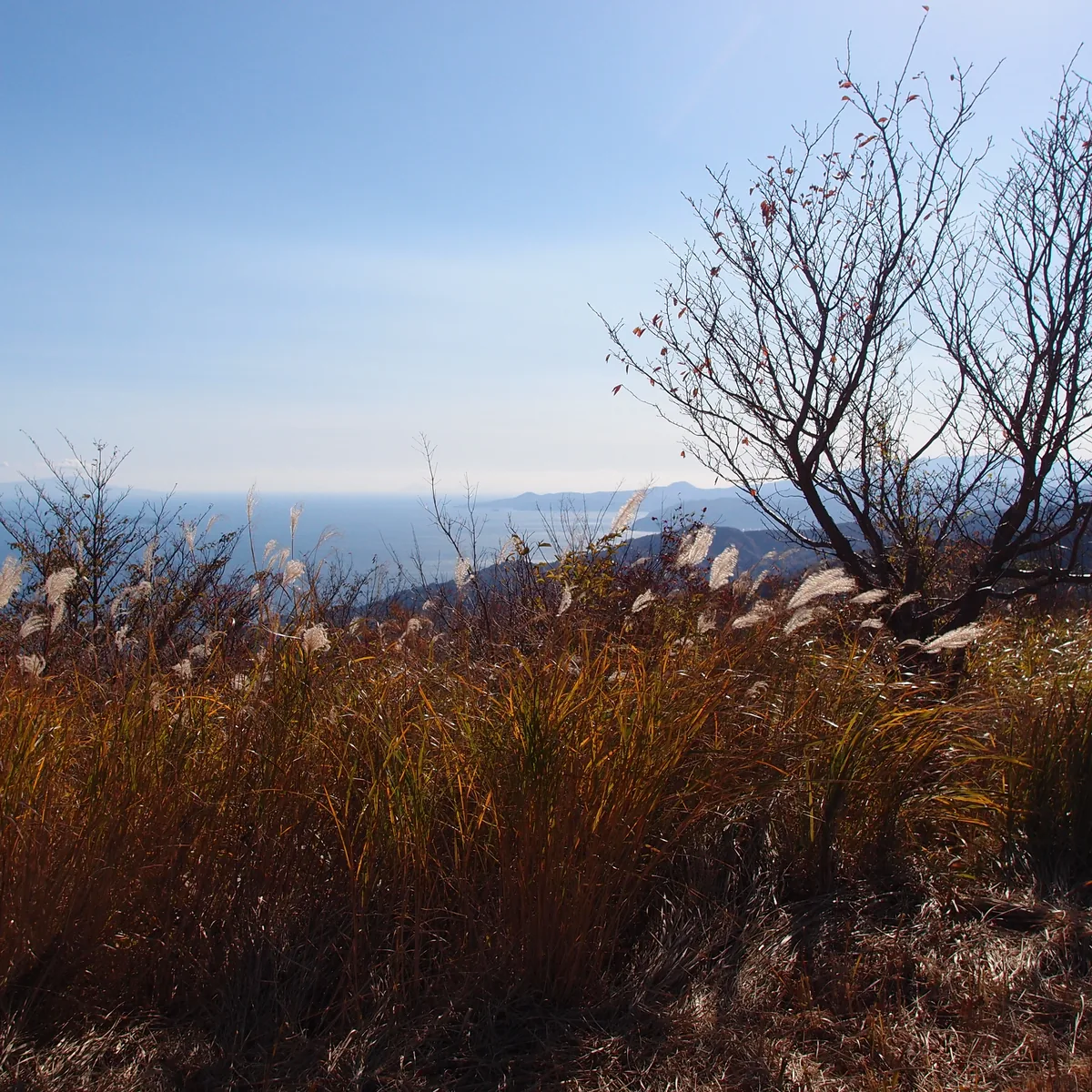
Makuyama is the beginner course with a real summit. Buses for it leave from stand 3 at the station and take about 15 minutes to the Makuyama-kōen terminus. The association describes it as a beginner course over Makuyama, 626 m high, and says the slope is gentle enough to recommend to beginners. It is 5 minutes from the bus to Makuyama Park, 5 more to Makuiwa, the cliffs that rock climbers come for, and then about 65 minutes to the summit. From the top you look down on Sagami Bay, the Manazuru Peninsula, and Hatsushima.
"Beginner" is the association's label, not a promise that the walk is easy. That climb to the summit is the better part of an hour uphill. The town warns that between Ōishigadaira and the summit some sections get muddy in certain seasons because of spring water, and the prefecture's sheet for its longer Makuyama route from Kajiya warns of a steep zigzag section. The way down runs about 20 minutes to the Ōishigadaira and Nangozan junction, about 45 minutes to Meoto-no-sakura-no-sato, and about 10 minutes back to the park. From early February to mid March, during the plum festival, direct buses run to Makuyama Park and the slopes below the mountain turn pink and white; our plum blossom guide covers that season.
Video
Makuyama on BS Asahi
A 30-second preview from BS Asahi's mountain programme Soko ni Yama ga Aru Kara, in which the presenters climb Makuyama from the park through the plum grove. BS Asahi's description says they reached the summit 1 hour 40 minutes after setting off. In Japanese.
Produced by: BS Asahi ↗
What to bring, and when to start
You don't need special gear for either course, but you do need the basics the town lists. It asks hikers to wear shoes that fit and are easy to walk in, drink often, and carry rain gear because mountain weather changes quickly, and to choose clothes that are easy to put on and take off for the temperature and weather, not light clothing. Kanagawa Prefectural Police, who handle mountain rescues in the prefecture, add a few things worth packing even for a short walk: a fully charged phone and a mobile battery, a headlamp, a map, and a bell or something else that makes a sound, so you don't surprise wild animals. Bring your own water and snacks too.
Start in the morning. The Makuyama bus runs only a few times a day, so check the timetable for Yugawara Station before you set out and know when the last bus back leaves. The town asks everyone to plan to be down before sunset with time to spare, and in late autumn that comes early. The National Astronomical Observatory of Japan gives sunset in Yokohama, its nearest reference point, as 4:35 pm on 15 November and 4:29 pm on 30 November. Yugawara is close to that, and the valley floor falls into shadow sooner, so treat about 4:30 pm as the time you want to be back on the road.
If something goes wrong
The town is blunt about the main risk: more people are getting lost. It asks hikers not to walk alone but with someone who has experience, and to keep checking where they are with a map, a compass, or, where there is signal, a GPS app. If you realise you've gone wrong, stay calm, work out where you are, and go back the way you came. If you have lost the trail completely, don't push on: call 110 if you have signal, and if you don't, walk toward a ridge, where signal is easier to get, and call from there. The prefectural police also ask hikers to file a hiking plan, either in a box at the trailhead or online through Compass, the system run by the Japan Mountain Guides Association, which you can also do from the YAMAP app. The police say they read the plans registered in these systems when they search for someone.
Rules of the trail
The town's trail rules are short. Take your rubbish home, and never pick or catch plants, birds, animals, or insects. That includes the wild foods in our seasonal calendar: read it for the season, but leave everything on these courses where it grows. The town also says monkeys, wild boar, snakes, and other animals may appear, and asks people not to approach or feed them. If you see hornets or wasps, walk away quietly, because swatting at them can make them attack. Our guide to where you might meet Yugawara's monkeys explains what to do if the troop crosses your path.
Where to go next
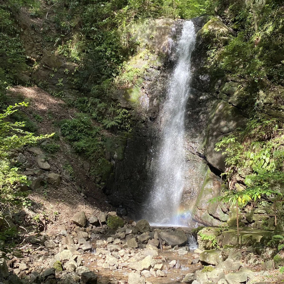
Once one of the beginner courses feels comfortable, the other three are waiting. Tenshozan is about 8.6 km and 150 minutes from the Oku-Yugawara terminus, and its course page includes Fudō Falls, which drops 15 metres; note that you can no longer catch a bus from the Tenshozan stop toward Moto-Hakone or back to the station, so plan to walk out. Nangozan is about 13.5 km and 230 minutes, over a 611 m peak, and from late May to early June temporary buses run to Hoshigayama Park for the azaleas described on our Hoshigayama page. Shiroyama is best on a weekend this winter, or after 15 March. Our Fudō Falls page covers the waterfall, and for a bath afterwards, Kogome no Yu is near the Ikemine and Tenshozan side of the valley, with more choices in our day-trip onsen guide.
Yugawara is an easy place to start walking because the town has already done the sorting for you. Pick Ikemine if you want a short climb into the maples and a walk down into the onsen streets, and pick Makuyama if you want to stand on a summit and look at the sea. Go with a friend, carry a raincoat and a charged phone, catch a morning bus, and be back on the road by about half past four. Shiroyama will still be there for the second visit. For buses and getting around without a car, see our getting around guide.